
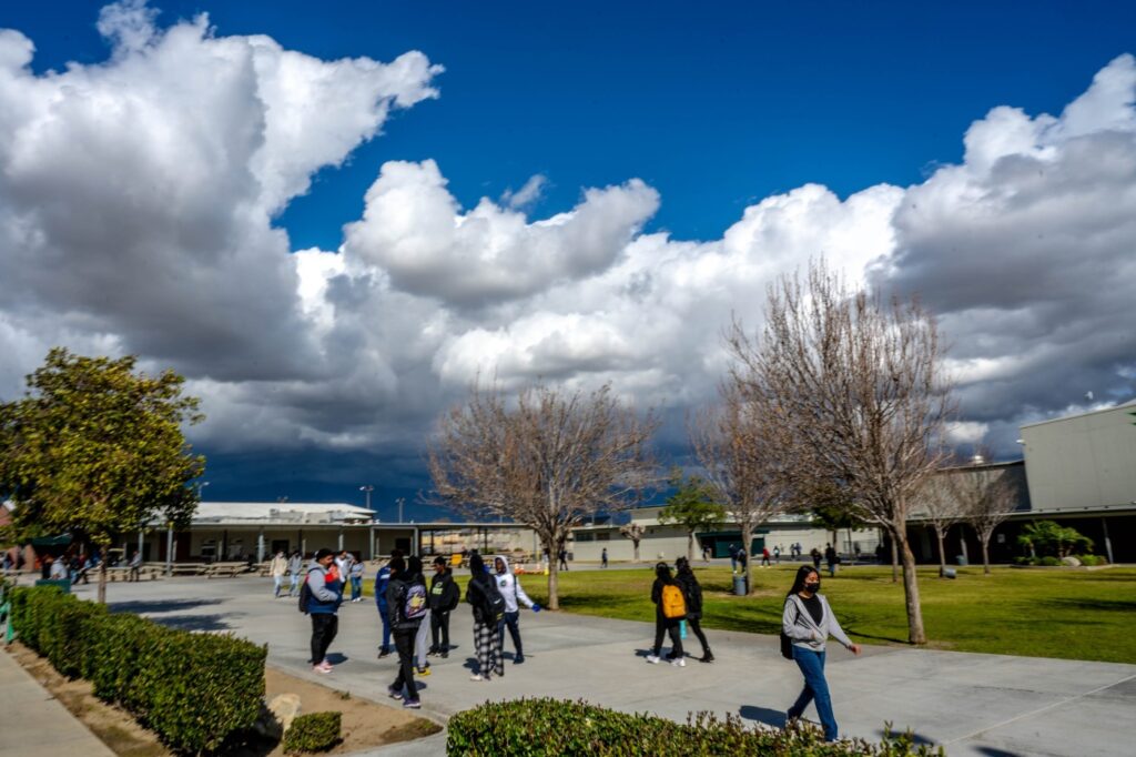
A brisk winter storm that moved into Southern California on Tuesday brought chilly temperatures, strong winds gusts, and scattered rain showers and snow, conditions that forecasters said would last until Wednesday.
Tuesday afternoon saw temperatures in the 50s for coastal valley regions between the coast and Santa Ana Mountain foothills while mountain temperatures in San Bernardino County and Riverside County were in the 30s and 40s with wind gusts up to 50 mph, according to the National Weather Service.
The heaviest precipitation and snowfall were expected late Tuesday night into early Wednesday morning.
Avoid travel on mountain routes until Thursday. If you have to go you will need chains. Traffic is slow moving and will worsen as the bulk of the storm moves in overnight. Know before you go https://t.co/DWmXqRljRt pic.twitter.com/ixTcpOYh7c
— Caltrans District 8 (@Caltrans8) February 22, 2022
A winter storm warning for the mountain areas in San Bernardino County, including Interstate 15 through the Cajon Pass, was issued by the National Weather Service until noon Wednesday. Light snowfall was expected at 2000 feet with 4 to 6 inches expected at 4000 to 6000 feet and 6 to 12 inches above 6000 feet with greater amounts on higher peaks.
Officials also issued warnings for possible heavy snow in mountain areas of Riverside County until 6 p.m. Wednesday.
Los Angeles County was expected to receive relatively light, but scattered, rainfall Tuesday afternoon through Wednesday morning. Snow totals of around 1 to 3 inches were anticipated for elevations above 2500 feet.
By Tuesday afternoon, the top wind gusts were registered at the Toro Peak in Riverside at 74 mph, Cajon Pass at 45 mph, Chino Hills at 47 mph and Jurupa Valley at 40 mph.
In Orange County, Laguna Beach registered 41 mph wind, San Clemente had 40 mph and the Huntington Beach Pier had 38 mph wind.
Lytle Creek Canyon in San Bernardino County had the highest 24-hour precipitation total at .79 inches by 4 p.m. Tuesday.
Snow Valley had received 5 inches of snow at elevations of 7,000 to 7,500 feet by 6:30 p.m.
“This system is part of a wave traversing the west coming from the Pacific Northwest area,” said Brian Adams, a meteorologist with the National Weather Service.
The system is expected to be gone by Thursday morning. Temperatures will remain chilly to start, by Saturday and into Sunday, temperatures will be notably warmer, Adams said.
Related Articles
Procession for Huntington Beach officer killed in helicopter crash brings out hundreds of mourners
Man convicted of raping, killing 79-year-old Anaheim woman more than 40 years ago
Bicyclist dies after struck by vehicle in Santa Ana
2 killed in SUV speeding away from shooting at Anaheim restaurant
2 Black leaders back DA Todd Spitzer following alleged racially charged remarks
Recent Comments