
A visit to the beach is meant to be a pleasant experience – but get nailed by a stingray or pulled out to sea by a rip current and the trip can quickly turn into a beach bummer.
A website launched recently by Huntington Beach called “Safe Beach Day” will inform beachgoers about coastal hazards, the first of its kind to take real-time data and make it available to the public.
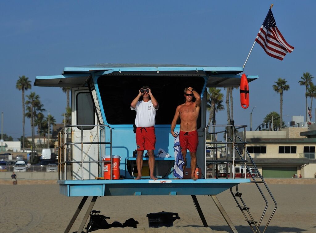
“We’re just trying to get the public the most information we can so they can be as safe as possible,” said Huntington Beach Marine Safety Capt. Trevor McDonald, who worked with Watchtower Solutions to develop the website.
Huntington Beach has worked with Watchtower for more than two years to internally document the daily number of rescues, warnings, medical aids and more. The data helps the agency determine trouble areas that could indicate more staffing needs and keep records on activity and response times.
The tool has been a resource for data-driven decision making, McDonald said.
Using the same information, the new website loops the community in so they can make informed decisions, such as which area has the strongest rip currents or how many stingray injuries are occurring at the lifeguard towers that dot the beach.
When a person seeks treatment for a stingray injury, for example, the lifeguard on duty will type it into a system that uploads the data and combines it with the overall stats, McDonald explained. The same could be done for rescues, which can happen with rip currents that can be strong in one area but not a tower or two over.
Based on wave heights, the site shows a color-coded “aquatic risk factor,” ranging from blue for moderate, to yellow for medium and red for hazardous. The towers on the site will change color based on the size of waves and rip current risks for that area.
A new version should be ready by summer that will also include beach parking demand, with parking attendants who will plug in whether parking is scarce or if spots are available. While it won’t tell exactly how many or which spots are empty, it will use the same color-coded system as rescues and sting-ray risks.
A sign near the pier warns surfers and beachgoers of a spike in stingray injuries. Now, beachgoers can access a website that gives injuries in real time to know of trouble areas. (Photo by Ken Steinhardt, Orange County Register/SCNG)
A section on the website has beach reports, where information about special events like surf competitions or a marathon in the area will be shown. It could also be a place for shark advisories or closures.
A “frequently asked questions” tab will allow people to look up rules, like whether dogs are allowed on the beach or laws on alcohol use on the sand.
Beachgoers will be able to access the website using QR codes that will be placed on the lifeguard towers and trucks for easy access.
City spokeswoman Jennifer Carey said the tool will come in handy not just for local beachgoers but for out-of-town visitors who may not be familiar with the beaches or ocean dynamics.
“Resorts and retail and business that really depend on tourist travel now have a new tool they are able to promote and share with their customers to allow them to feel more comfortable,” she said.
The oil spill in October, or Tuesday’s night beach closure due to a lightning storm, are examples of when the website could quickly share information with the public.
There’s also the ability to click on a tower and share location with others. Many times, people get confused when searching for specific spots or mistake nearby State Beach for the city beach.
“They can click directions and hit navigate to and it will take them back to their desired tower,” said McDonald.
The site had a soft launch in December, and an announcement by the city this week marks the first big roll-out to get public feedback and engagement as spring breakers start to book trips to the area.
“It’s going to get better and better,” McDonald said. “This is version 1. We’re super excited to get this out to everybody.”
Huntington Beach recently launched a Safe Beach Day website aimed at giving real-time data to beachgoers, who can learn of dangerous conditions or other important information. (SafeBeachDay.com)
The site also has a section for Sunset Beach, where the city has six towers, and they hope to create one for Huntington Harbour, also an area under the city’s watch.
Adam Sandler, spokesman for the California Surf Lifesaving Association, said more agencies are incorporating high-tech methods into traditional lifeguarding.
“Much like the growing use by agencies of drone surveillance and GPS shark tracking, it can be another high-tech tool in the marine safety tool belt,” he said of Huntington’s new system.
Such tools are envisioned as a complement to the CSLSA’s “Talk to a Lifeguard” initiative, which encourages beachgoers to approach an on-duty lifeguard, who can identify rip currents, warn of dangerous surf, or advise of active marine life such as stingrays or sharks, Sandler said.
“While there is no substitute for interaction with an on-duty lifeguard when discussing the potential hazards of a dynamic environment like the ocean, working in tandem it can help ensure everyone has a safe day at the beach,” he said.
McDonald also noted that the website shouldn’t take the place of asking a lifeguard about hazards or concerns.
Already, other beach communities are catching on. Watchtower Analytics worked with beaches in New Jersey that are also testing out the system.
“It’s a big step in the right direction for marine safety,” said McDonald.
More info: safebeachday.com
Recent Comments