
The record-warm weather that showed up and made Southern California the warmest place in the nation during the Christmas holiday is on its way out, and a drastic shift will soak southlanders through New Year’s Eve.
“Big change is on the way,” said Adam Roser, meteorologist for the National Weather Service. “The 80s are gone, and the 60s are here to stay for a while.”
That 20-degree dip will be apparent starting Tuesday morning, Dec. 27, and rain will start coming into the region later in the day Tuesday, expected to hit Los Angeles County by the afternoon and Orange County and the Inland Empire by evening, forecasters said.
“That’s the first bigger rainmaker that will start out the parade of little weather systems here,” Roser said.
The first in the series of storms is expected to be light so there’s not a big worry about debris flow in burn areas, he said. Late Wednesday through Friday, there will be a mix of sun and clouds with some light showers, with a bigger round of storms setting up for New Year’s Eve.
In the first storm arriving Tuesday, areas through downtown Los Angeles, Long Beach and the South Bay are expected to get nearly an inch of rain, while foothills and mountains could see 1-to-2 inches of rain, said NWS meteorologist Ryan Kittell.
Inland Empire and Orange County coastal areas should expect about ¾ of an inch through Wednesday morning, Roser said.
“It’s looking like it will be quite beneficial for the region,” Roser said.
It’s a warm storm, meaning snow levels are high in the 8,000-to 10,000-foot range, and mountains could get rain instead of snow. While that could be good news for drivers heading to the mountains who may not have to deal with chains, it will still make for slick roads and drivers should use caution.
Big Bear may get an inch or so of slushy snow in the next few days, but it will be mostly rain. “You still have to be careful on the roads,” Roser said.
The second series of storms is a cooler one, with snow levels dropping to the 7,000-to 8,000-foot range.
That storm could bring another inch or more of rain at most areas throughout the region, Roser said.
“We’ll have to keep an eye on that one as we get closer,” he said.
As for concern around burn areas, the rainfall rates — which quantifies how much rain falls in an hour — are expected to be light.
“We’re not expecting the rain intensity, at least the first one, for any concerning levels,” Kittel said. “I think both storms look to be under any concerning intensities. At this point, there doesn’t look to be any thunderstorm chances or a real potent storm.”
A high surf advisory issued by NWS Los Angeles was put in place Monday with waves in the 4-to 7-foot range at west-facing beaches, with the swell peaking Tuesday and lingering into Wednesday, which could cause worry for low-lying areas during high tides, though tide levels will be easing as the swell drops through the week, he said.
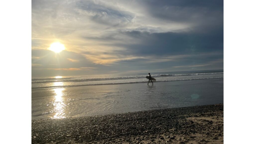
Surfers should use caution due to the strong rip currents and swell and also because of debris and bacteria that flows into the ocean following storms. Health agencies advise people to stay out of the ocean, especially near storm drains and river mouths, for at least 72 hours following rains.
The incoming rain is needed relief following several dry winter seasons that have left reservoirs in need of water supply, Kittel said.
“As far as the drought, there’s still a huge hole we have to dig out of,” Kittel said. “It will take a really wet winter season, but more than likely a couple winter seasons before we can get out of the drought. If you look at the reservoirs and water levels — they are still well-below normal.”
But there’s good news. The rain season totals so far — tracked from Oct. 1 through Sept. 30 — are on pace for normal levels for this time of year, he said.
Downtown Los Angeles, for example, so far has received 3.23 inches of rain, above the “normal pace” for this point of 3.18 inches.
Long Beach is about a third of an inch below its wet season average.
“It looks like a lot of places will go above average after these systems come through. So it’s good news,” Roser said.
Also, this wet season has produced a lot of snow in the Sierras, Kittel said.
“That really sets us up well for snowmelt next year to further increase those reservoir levels,” he said. “We’re starting off really good, but there’s still a lot more work to do.”
Recent Comments