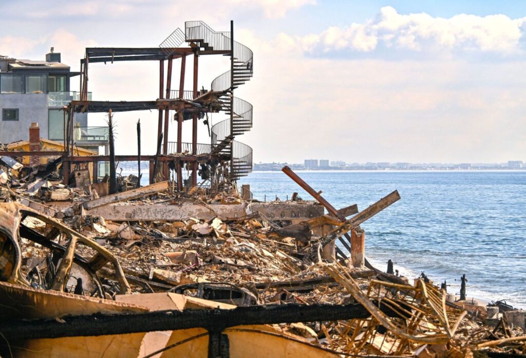
Firefighters in battle-scarred Los Angeles County and around Southern California could again face “extreme” fire weather conditions with powerful gusts in the coming week, the National Weather Service said on Saturday, Jan. 18.
“A strong and dry Santa Ana event with extreme fire weather conditions is increasingly likely,” the NWS said in a statement. “This event may be considerably stronger for many areas than the event that we experienced this past Monday through Wednesday.”
The stage is once again set for enormous fire danger because there still is critically dry vegetation, with no real rain since April, meteorologists said.
A fire weather watch was issued for the area near the Palisades fire starting at 10 a.m. on Monday until 10 p.m. Tuesday, but the alert could extend beyond that.
The strongest winds will blow in the western San Gabriel Mountains, into the Santana Susana mountains and down to the western Santa Monica Mountains, meteorologist Kristan Lund said. It’s predicted that areas in western San Fernando Valley, between Van Nuys and Burbank, will be hit the hardest.
Gusts up to 65 mph are expected in non-mountain areas, with gusts up to 80 mph in the mountains.
Cooler temperatures, more humidity and weaker winds will aid firefighting efforts over the weekend, NWS meteorologist Rich Thompson said on Friday.
This is a developing story. Please check back for more.
Related Articles
Pacific Palisades evacuation order came after homes were already burning, AP finds
Firefighters make overnight progress battling Palisades and Eaton fires
Crypto ‘Godfather’ and LA County sheriff’s deputy to plead guilty in intimidation, extortion conspiracy
Northern California lithium battery storage plant catches fire — and it’s not the first time
Ex-La Habra Heights deputy fire chief accused of posing as officer takes plea deal
