By Brian K. Sullivan
The odds that the drought-enhancing La Niña will fade by the end of California’s rainy season are rising, offering some hope of an easing of parched conditions across the Western US.
The Pacific Ocean has a 71% chance of returning to normal temperatures between February and April, bringing an end the La Niña weather pattern that has persisted for three years, the Climate Prediction Center said in a Thursday forecast. La Niña has dominated global weather, prompting mild winters across the South, drought in the West and parched crops in parts of Argentina and Brazil.
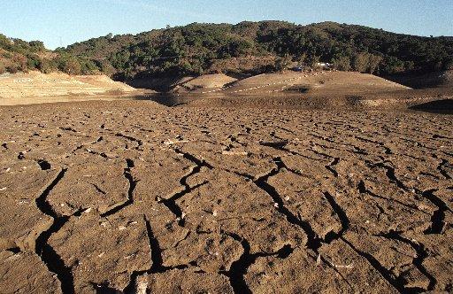
More than 99% of California’s land is gripped in drought, according to the US Drought Monitor. The state gets almost all its annual rain and snow from November to April, with most falling between December and February. California is off to a good start this winter with snow piling up in the Sierra Nevada mountains, though the same thing happened last year until La Niña choked off precipitation for the rest of winter, leaving the state and the US West deep in drought.
A La Niña appearance in three consecutive years has happened three times since 1950 and the phenomenon, marked by colder-than-normal water across equatorial Pacific, has never surfaced four years in a row in modern records. In addition to increasing odds that the Pacific will return to normal, there’s a chance that the ocean will warm sometime between July and September — a phenomenon known as El Niño.
Related Articles
Star Wars to science: Researchers harvest water from air to address shortages
California farms face $3 billion loss from historic drought
Who’s cracking down on ‘water wasters’ in Orange County?
