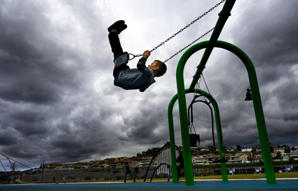
A pair of storms will deliver more showers and snowfall across Southern California through the workweek at the end of 2021 before clear skies return at the start of the new year.
The first storm reached the region Monday afternoon, and wasn’t expected to be as intense as a previous system that hammered the area with precipitation last week, according to the National Weather Service. It will move quickly and should drop less than half-an-inch of rain in most communities before leaving Southern California by Tuesday evening, NWS meteorologist Stefanie Sullivan said.
That will immediately be followed by a wetter, slower-moving weather pattern, according to forecasts. The later system arriving Wednesday could dump between 1.5 to 2 inches of rain along the coast and in the valleys, and possibly more in mountain areas, before it clears on Friday.
“There is the potential for heavy rainfall during the second storm,” Sullivan said Monday. “But there is uncertainty about how it’s tracking and how far inland it might go. Some early models suggest it might reach the burn scars in San Bernardino and Orange counties, but others indicate it could linger mostly over the Los Angeles area.”
Cloudy skies and breezy conditions will keep temperatures lower than seasonal averages, with highs struggling to rise past 60 degrees in most communities and lows dipping into the 40s through the week.
In addition to all of the precip and winds, it is going to be COLD. Like, actually cold. Here are all of the sites that could either tie or break their record low max temperature for December 28. pic.twitter.com/v0bSuUTm7e
— NWS San Diego (@NWSSanDiego) December 28, 2021
Snow levels could drop to as low as 5,000 feet this weekend. Those planning on hitting the road for the New Year holiday may encounter icy conditions along the Cajon Pass on the 15 Freeway, a route commonly taken to reach Las Vegas.
Cloud cover will dissipate on Friday, resulting in clear skies through the weekend. But low temperatures will persist, with meteorologists expecting highs about 10 degrees below seasonal averages on New Year’s Day.
Projected high temperatures for Tuesday:
Downtown Los Angeles: 56°Fullerton: 55°Long Beach: 56°Mission Viejo: 53°Redlands: 47°Riverside: 51°San Bernardino: 48°Torrance: 57°Van Nuys: 53°Whittier: 53°
Related Articles
Snow blasts California and freezes Pacific Northwest
2 storms to drench Southern California before New Year’s Day
Christmas in Southern California: Cold and raining – but sometimes white
Mapped: Where Orange County’s Christmas storm dropped the most rain
Storm strikes Southern California, washing out roads, downing street lights, causing mudslides
